︎
SAADIA MIRZA
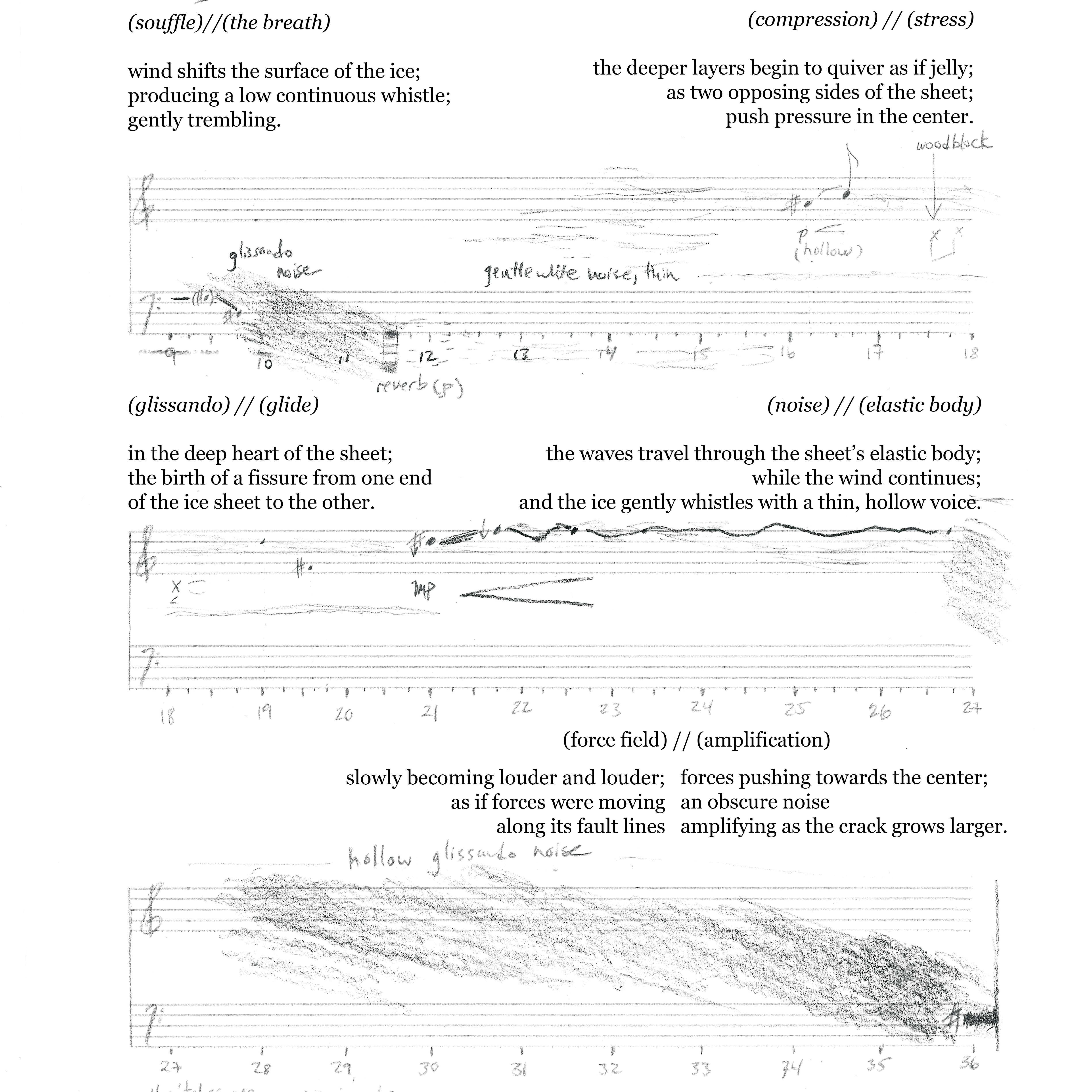
A Phenomenology of Iceberg Collisions
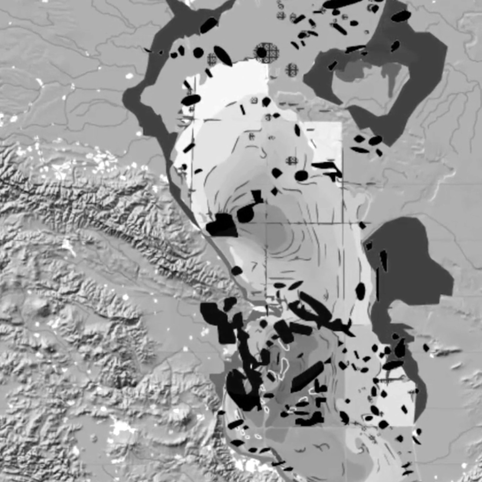
Sensing Landscape: Kandahar
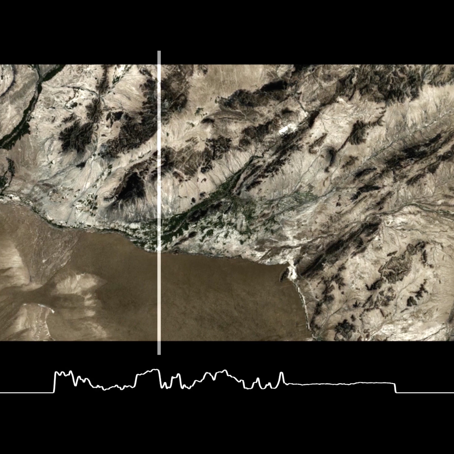
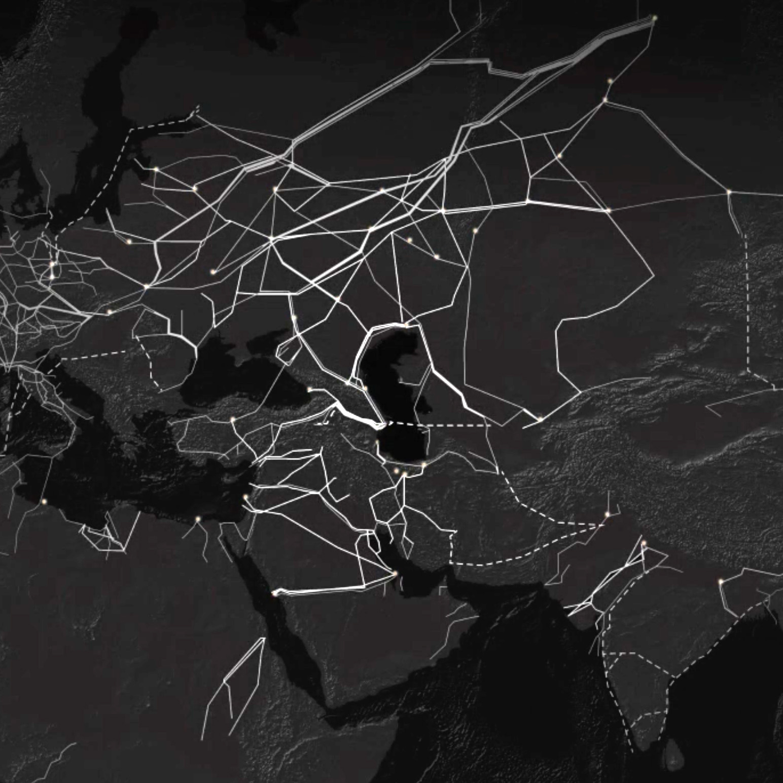
Sensing Landscape: Topologies
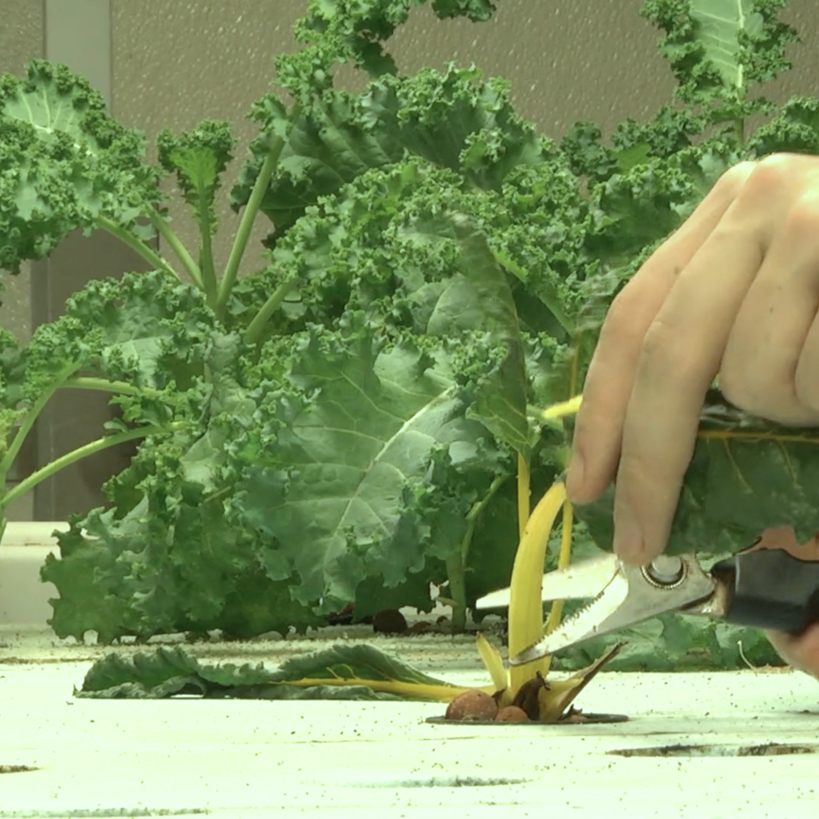
PLANT
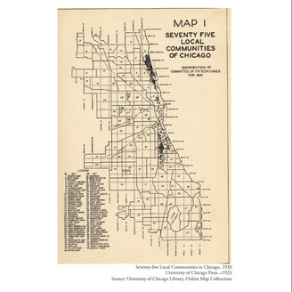
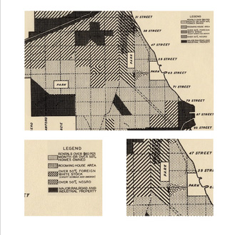
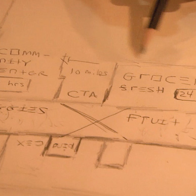
Southside Imaginaries
Sea as Land